The Handy GPS application is the ultimate tool for all travelers. It is designed to take users anywhere they want to go, regardless of the weather or terrain. With Handy GPS, users can embark on their dream adventures with confidence.
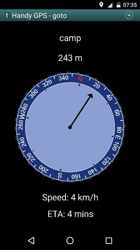
This helpful software provides essential information about users� locations and movements, including latitude and longitude coordinates, altitude, trip speed, direction, and distance. The most significant feature is that users can view this data in their preferred units of measurement, such as metric, imperial, US, and nautical units. This allows for efficient tracking and recording of location data tailored to specific activities.
Users can save their current location as a waypoint and create a log of their trips for easy management using Handy GPS. This makes it easy to mark important places, such as starting points, stops, or significant sites, and have them displayed on the app�s map. The tracking log continuously records the user�s location from the starting point throughout the trip, making it easy to analyze the route and track speed, altitude, and direction after the trip.
Handy GPS supports various coordinate systems, making it suitable for use in different geographical regions. It is equipped with systems like UTM, MGRS, latitude/longitude, and more, to meet the navigation and location tracking needs of users. This makes it the perfect companion for outdoor activities like hiking, biking, kayaking, horseback riding, and more.
For those who love outdoor adventures, Handy GPS is a must-have. It provides users with confidence and security, as their location and distance are always closely monitored. This makes it easy to return safely from solo adventures or expeditions.


 Loading...


